An undeveloped corner parcel under full feasibility evaluation — from raw aerial survey to development yield modeling. This is what the land can become.
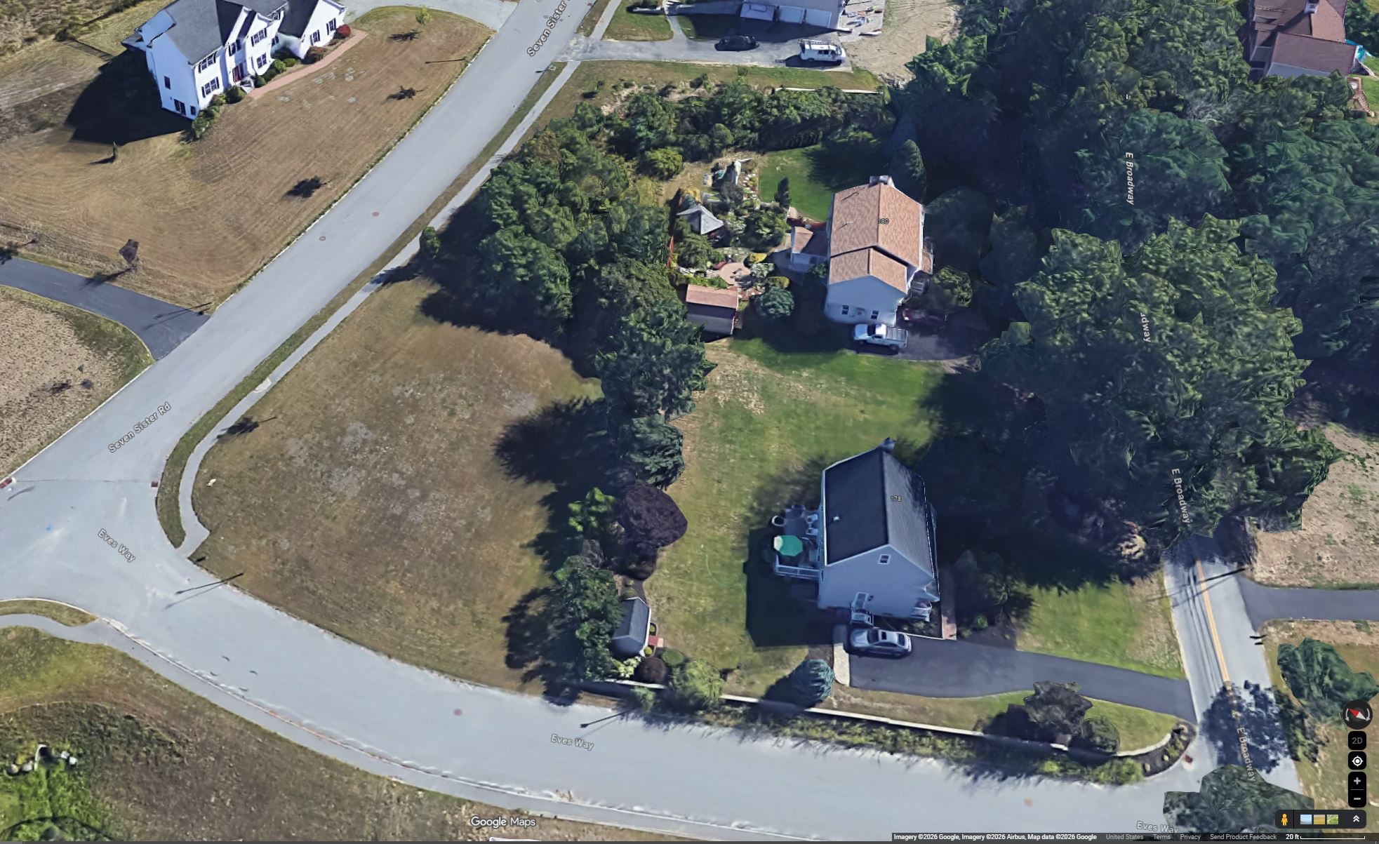
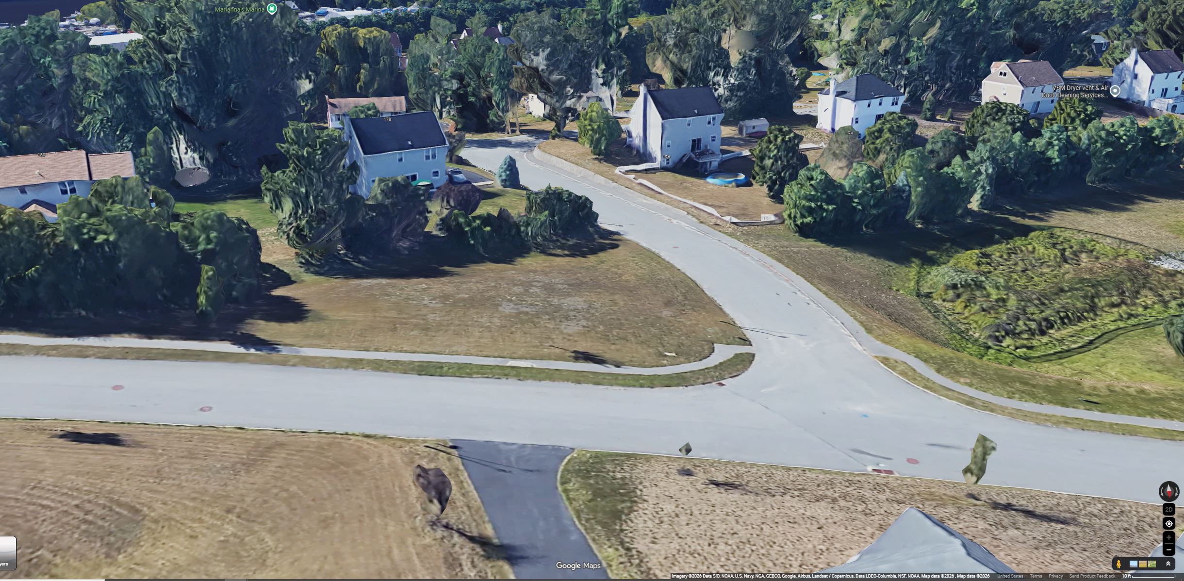
A corner lot at Seven Sisters Road and Evans Way — undeveloped, well-positioned, and sitting on a street with established residential context. These aerials tell the story before a single stake goes in the ground.
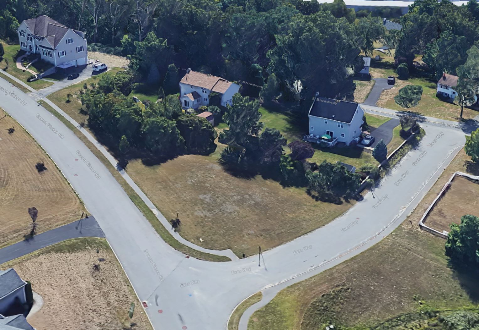
Aerial Survey
Aerial Survey
Aerial Survey
The parcel sits at a corner with dual road frontage — an immediate access advantage that most single lots don't have. The surrounding neighborhood is established single-family residential, which anchors the zoning picture and gives a clear comparable baseline for yield modeling.
We're running the full picture: wetland and conservation review, zoning and setback analysis, utility availability, topographic constraints, and a buildable-unit range. The goal is a clear go / no-go before a dollar of design spend is committed.
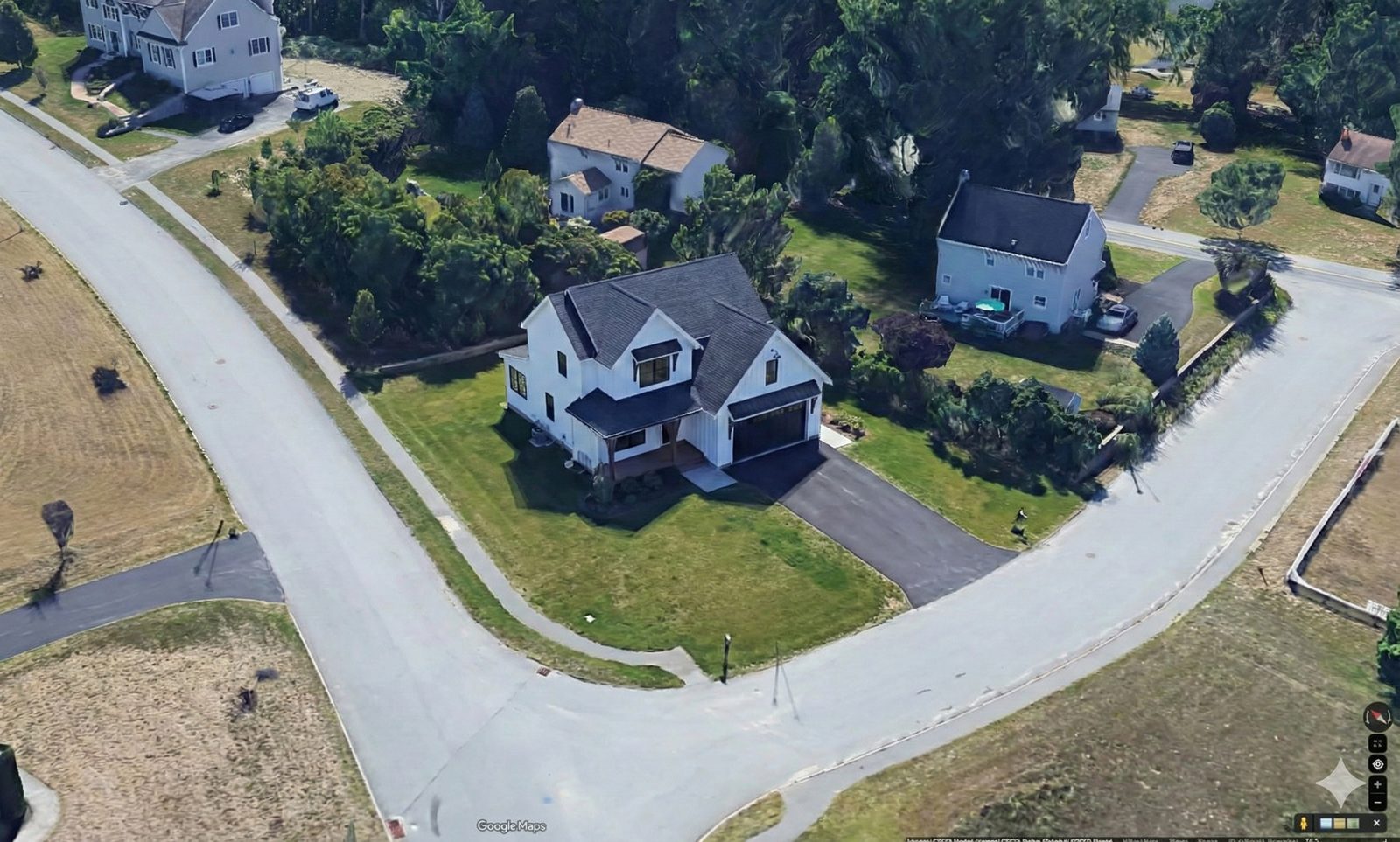
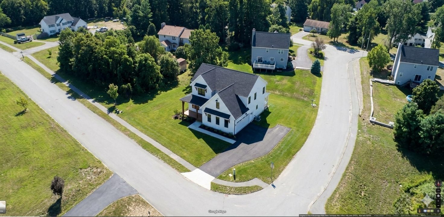
These AI-generated renders illustrate one possible development outcome — a modern single-family home on the corner lot. The feasibility study will define what zoning actually allows and which yield scenario pencils best.
Concept Render
Concept Render
Renders are AI-generated conceptual illustrations only — they do not represent engineered plans, approved designs, or committed development outcomes. All development is subject to the findings of the active feasibility study, applicable zoning, and regulatory approvals.
Drone survey of existing conditions, site access, and neighboring context captured.
Identifying any regulated areas and their impact on buildable envelope.
Confirming use rights, setbacks, and the range of units the parcel can support.
Final deliverable: buildable unit range, regulatory path, and a clear recommendation.